
See the Bigger Picture
High-resolution aerial panoramas, dynamic 360° drone video, and site mapping to give your audience a wider perspective on any location.
Explore Aerial FilmsHigh-altitude spherical capture, precision GPS flight tracking, and seamless 360° panoramic stitching.
Site overviews, architectural progress documentation, and interactive aerial virtual tour nodes.
See the
bigger picture.
A property within its landscape. A site within its surroundings. We create aerial photographs and 360° films that give your audience a wider perspective on a place.
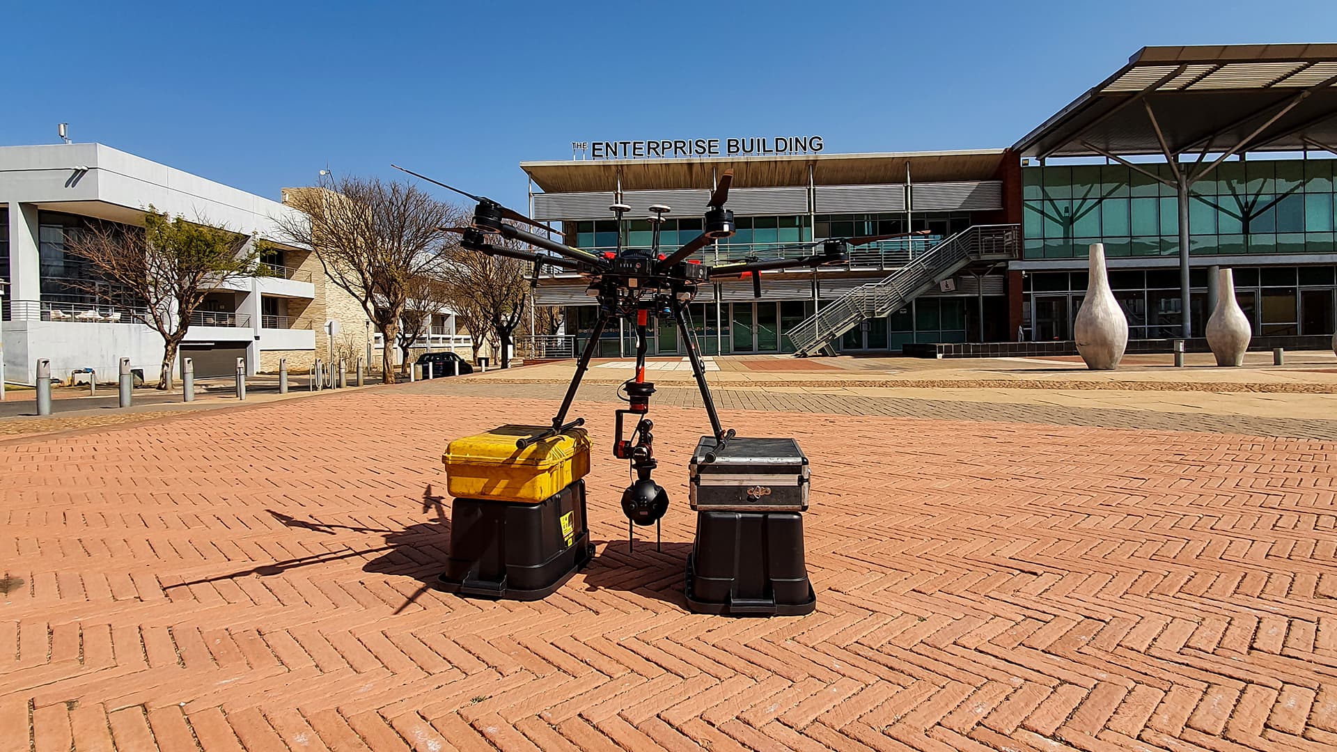
Two locations.
A wider view.
Explore our original aerial video examples from Pretoria and Jagersfontein. Each uses a 360° viewpoint to place a location within its surrounding environment. Watch directly below.
The Innovation Hub
A capture demonstration at the Innovation Hub, showing the location and its surroundings from an aerial viewpoint.
Jagersfontein Mine
A panoramic view of the historic open-pit mine, using the aerial perspective to communicate the scale and shape of the site.
Planning on the ground.
Perspective in the air.
The finished experience starts with location planning, camera setup and the crew behind the capture. We bring filming and post-production together around the brief.
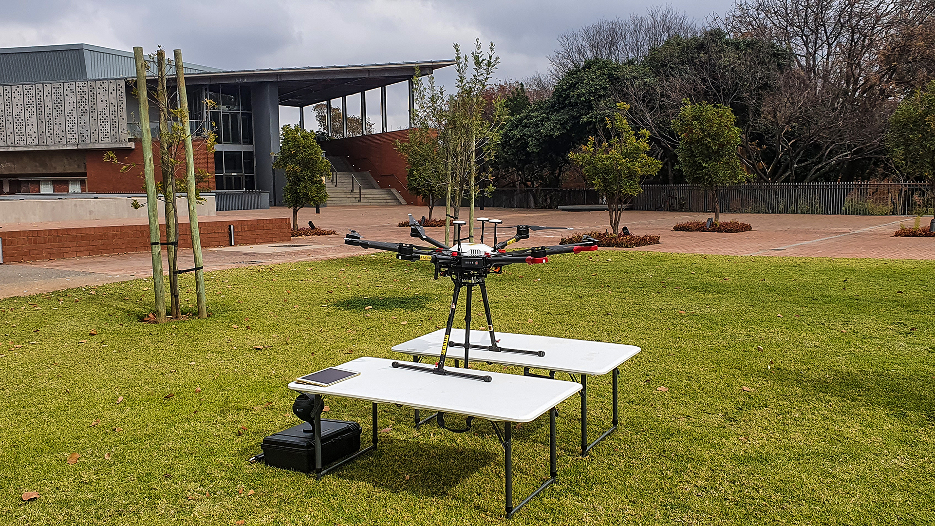
Preparing for a 360° shoot / University of Pretoria.
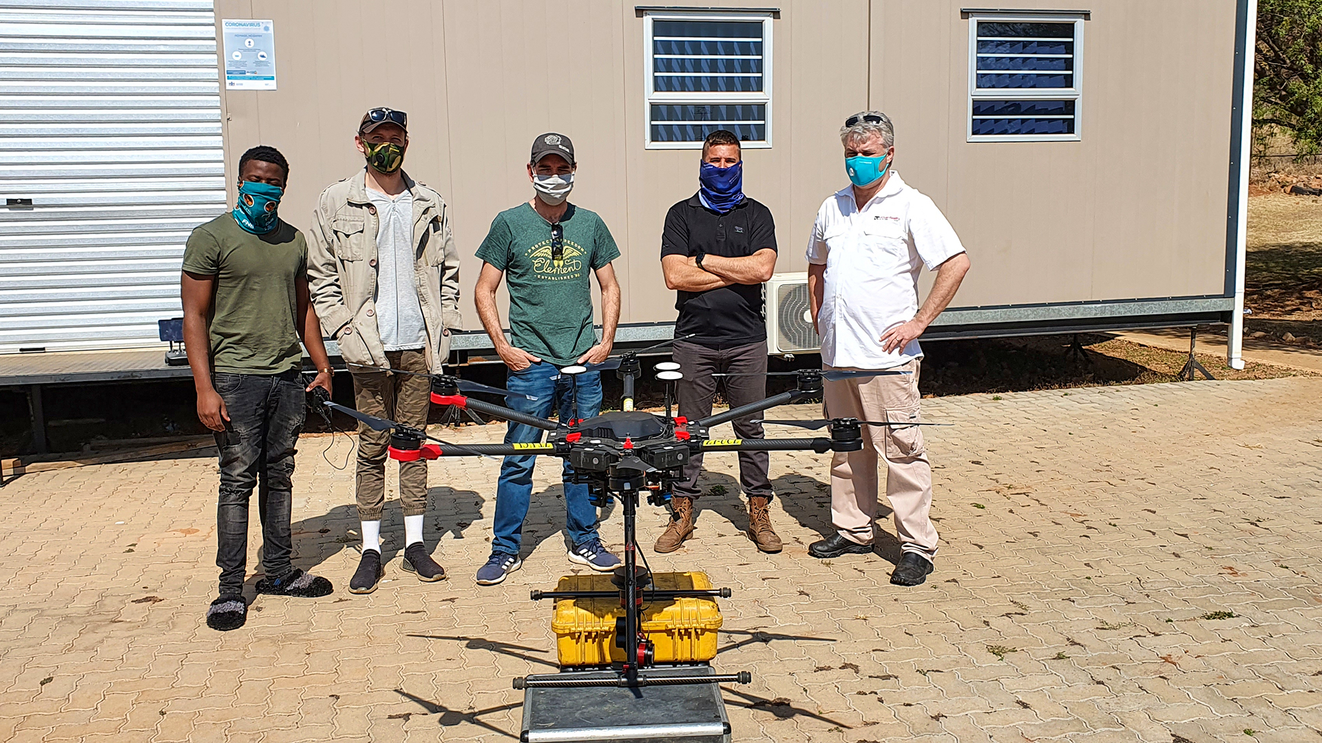
The production team and aerial camera setup.
Plan the location
Discuss the site, access, flight arrangements and the views that will communicate the story.
Capture the perspective
Choose the camera position, movement and conditions around the intended visual experience.
Shape the final view
Stitch, edit and prepare the imagery for the intended use, from an aerial panorama to a finished 360° film.
A view with
more context.
Choose aerial imagery when the relationship between a place and its surroundings matters. The location and project requirements guide the capture plan.
Property & infrastructure
Show a property, development or construction site in relation to the wider landscape.
Events & entertainment
Capture the layout and setting of an outdoor venue as part of an event story.
Agriculture & land
Document farm layouts, irrigation infrastructure and land use from above.
Mining & industry
Present a site's extent, infrastructure and changing appearance through aerial imagery.
Tourism & heritage
Give audiences a preview of a destination and create a visual record of significant places.
Sports & recreation
Show the layout of a golf course, circuit or recreational venue within its surroundings.

Step Into The Future with
Virtual Reality South Africa
From turnkey VR activations and enterprise equipment rentals to bespoke spatial computing software and 360° video production — our specialized team brings your immersive vision to life.